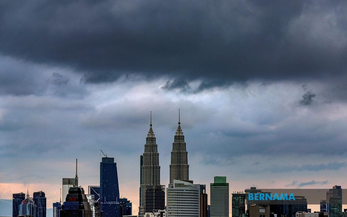
The Malaysian Meteorological Department issued a cautionary statement on July 23 regarding severe weather conditions expected to sweep across a significant portion of the country's population centres, with the alert remaining in force until 3pm the same day. The advisory encompasses Kuala Lumpur and Putrajaya, the nation's federal territories, alongside eight states spanning both the northern and central regions, affecting millions of residents and commuters across the most densely populated areas of Peninsular Malaysia.
In the north, Kedah faces threats in the districts of Yan, Pendang, Kuala Muda, Sik, Baling, Kulim and Bandar Baharu, while Perak residents in Kerian and Larut, Matang and Selama should prepare for the incoming system. These northern districts, though less urbanised than their southern counterparts, are home to significant agricultural operations and industrial facilities that could be disrupted by the anticipated weather pattern. The entire state of Penang, a major economic and population hub, comes under the weather warning, creating implications for the state's substantial manufacturing and tourism sectors.
The central region faces the most comprehensive coverage, with Selangor experiencing threats across multiple metropolitan and suburban districts including Kuala Selangor, Klang, Gombak, Petaling, Kuala Langat, Hulu Langat and Sepang. This area represents the economic powerhouse of Malaysia, encompassing major industrial zones, the Klang Valley conurbation, and critical infrastructure including ports and logistics hubs. The warning extends to Pahang's Rompin district on the east coast, which may experience additional flooding risks given the monsoon season dynamics typical for that region.
Southern districts on high alert include multiple areas across Negeri Sembilan, specifically Seremban, Port Dickson, Rembau and Tampin, alongside all of Melaka state. Both states form part of the densely populated western corridor and include significant transportation networks connecting major population centres. Johor's warned districts of Tangkak, Segamat, Muar, Batu Pahat and Kluang span from interior regions to the southern coast, areas that depend heavily on road transport for commerce and daily movement.
The tripartite weather hazard—thunderstorms, heavy rainfall, and strong winds—presents compounded risks across the affected regions. Thunderstorms bring not only lightning hazards but also sudden wind gusts capable of damaging structures and uprooting vegetation. Heavy precipitation rates threaten flash flooding in low-lying areas, drainage systems, and flood-prone zones, particularly in urban areas where impervious surfaces limit water absorption. Strong winds pose dangers to outdoor activities, construction sites, and transportation, with particular concerns for vehicles on major highways and bridges.
For commuters and businesses in the Klang Valley and greater Kuala Lumpur region, the mid-afternoon deadline creates a critical window for planning. Rush hour traffic patterns, typically intense from 4pm onwards, could collide with residual weather impacts if conditions persist beyond the forecast period. Public transportation operators and highway authorities typically increase readiness during such alerts, with contingency protocols activated to manage potential disruptions.
The geographic spread of this warning illustrates the scale of the weather system affecting Malaysia on this date. From the northern boundary near the Thai border through to the southern reaches of Johor, the alert covers a span exceeding 800 kilometres, encompassing diverse topography and urban-rural mixes. The simultaneous activation across so many districts suggests a substantial weather formation rather than isolated convective activity, likely requiring heightened public awareness and precautionary measures across multiple state administrations.
Residents and businesses in affected areas are typically advised to secure loose outdoor items, avoid unnecessary outdoor activities during the warning period, and monitor local drainage and flood-prone locations. Motorists should exercise heightened caution, particularly on elevated highways where strong winds pose handling challenges, while pedestrians should seek shelter during the thunderstorm phase. The Malaysian Meteorological Department's issuance of specific district-level warnings reflects an increasingly granular approach to public weather communication, allowing targeted preparedness rather than blanket advisories.
The economic implications of such weather events across Malaysia's core regions extend beyond the immediate warning period. Industrial operations may experience downtime, supply chain disruptions can cascade through manufacturing hubs, and agriculture faces crop and infrastructure damage risks. Port operations in areas like Klang and Port Dickson may face temporary suspensions or operational constraints, affecting trade flows through Malaysia's primary maritime gateways.
This weather pattern, typical during Malaysia's monsoon transition periods, underscores the continuing importance of robust weather monitoring and public communication systems. The MetMalaysia alert mechanism enables residents and authorities to implement protective measures with sufficient lead time, though the compressed warning window until 3pm creates time-critical decision-making scenarios for businesses and transport operators managing operations across the affected territory.

