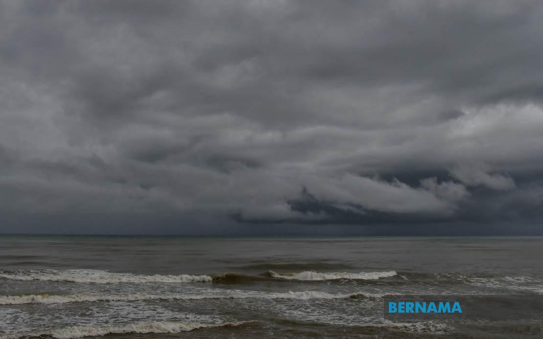
The Malaysian Meteorological Department has alerted the public to anticipate severe weather conditions sweeping across the nation, with thunderstorms, intense rainfall, and powerful winds forecast to persist until 9 pm today. The advisory extends to numerous districts spanning Peninsular Malaysia, East Malaysia, and the federal territory of Labuan, prompting residents to take precautions and adjust their evening plans accordingly.
In the northern Peninsular region, MetMalaysia identified Perlis as vulnerable to the incoming weather system. Kedah faces particular risk, with the meteorological body specifically naming Langkawi, Kubang Pasu, Padang Terap, Sik, Baling, Kulim and Bandar Baharu as zones expecting heavy downpours and electrical storms. These areas, which experience seasonal monsoon influences and geographic exposure to atmospheric disturbances, require heightened vigilance from residents and authorities managing drainage infrastructure.
Across Perak, the central state will encounter similar conditions across its western and eastern divisions. The affected districts—Kerian, Larut, Matang and Selama in the north, alongside Hilir Perak, Batang Padang and Muallim toward the interior—represent a significant swath of the state's geography. Perak's terrain, characterized by river systems and low-lying agricultural land, necessitates heightened flood preparedness given the expected precipitation intensity.
The Selangor region, Malaysia's most densely populated state by economic activity, features prominently in the warning. Metropolitan Kuala Lumpur and suburban Selangor districts including Sabak Bernam, Kuala Selangor, Hulu Selangor, Klang, Gombak and Petaling require immediate preparedness. These areas, home to millions of residents and critical infrastructure, could experience traffic disruptions and localized flooding in vulnerable zones during peak evening commute hours. The timing of the weather system poses particular challenges for commuters and logistics operations.
Southern Peninsular Malaysia is not exempt from the forecasted disturbances. Johor's Kulai and Johor Bahru districts face the threat of thunderstorms and heavy precipitation. These localities, encompassing residential suburbs, industrial zones, and port facilities, maintain strategic importance for the nation's economic activity and regional connectivity with Singapore.
In Sabah, the warning extends to multiple regions reflecting the state's geographic diversity. The Interior districts experience weather volatility inherent to upland topography, while the West Coast—encompassing Papar, Putatan, Penampang, Kota Kinabalu, Tuaran and Ranau—faces exposure to maritime weather patterns. Sandakan's outlying districts of Tongod, Telupid and Beluran, situated in the state's eastern reaches, similarly require weather preparedness measures.
Sarawak's affected areas demonstrate the expansive nature of the weather system. Kapit division, including Kapit town, Bukit Mabong and Belaga, sits vulnerable to river-based flooding risks during intense rainfall events. Miri, the state's oil-rich northern hub, and Limbang further north both require readiness for sudden weather deterioration. These regions depend substantially on river transport and face communication challenges during severe weather.
The comprehensive geographic scope of this meteorological warning underscores the scale and intensity of the atmospheric disturbance. Unlike localized thunderstorm activity, this system affects multiple states across both Peninsular and East Malaysia simultaneously, suggesting a organized weather pattern rather than scattered convection. Residents should expect sudden onset conditions, with the primary window extending through this evening.
Practical considerations for affected populations include securing outdoor items susceptible to wind damage, avoiding unnecessary travel during peak storm activity, and monitoring water levels in flood-prone areas. Electrical storms pose risks to utilities and communications infrastructure, potentially disrupting services during the critical evening period. Vehicle operators should exercise heightened caution on highways and rural roads where visibility deteriorates rapidly.
The meteorological department's decision to issue this widespread alert reflects confidence in forecast modeling regarding the intensity and geographic extent of tonight's weather system. Residents receiving this warning should treat it as actionable guidance rather than speculative forecast discussion. Previous severe weather episodes across similar regions have produced significant localized impacts, validating the importance of public preparedness and official communication.
For businesses and public institutions operating into evening hours, contingency planning becomes essential. Schools, hospitals, and emergency services should review protocols for managing weather-related disruptions. Utility providers typically preposition crews during such alert periods to expedite response to infrastructure damage. The 9 pm cutoff time provided by MetMalaysia establishes a specific window for peak activity, after which conditions are anticipated to gradually improve.
Monitoring official weather updates remains critical, as meteorological forecasts can be refined as atmospheric systems evolve. The Malaysian Meteorological Department maintains multiple communication channels for disseminating updated information, including mobile alerts and broadcast media partnerships. Residents should remain attentive to any revised advisories that might extend or intensify the initial warning.

