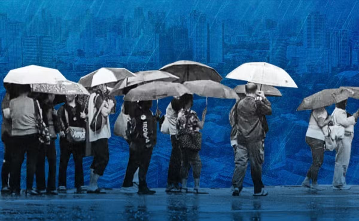
Metro Manila experienced an extraordinary deluge between August 5 and 14 when the southwest monsoon, known locally as Habagat, converged with a succession of tropical cyclones to unleash intense precipitation across the Philippine capital. According to analysis of data gathered from 23 monitoring stations operated by the Philippine Atmospheric, Geophysical and Astronomical Services Administration, the city received an average of 483.4 millimeters of cumulative rainfall over this ten-day window—a volume that carries profound implications for urban planners, policymakers, and residents alike.
Dr Alicor Panao, an associate professor at the University of the Philippines and data scientist, examined the rainfall patterns and highlighted the severity of what the city endured. The daily average during this period reached approximately 48.3 millimeters, though the distribution proved highly uneven across different areas of the metropolis. The most dramatic concentration occurred on just two days: August 9 and 10 saw nearly half of the entire ten-day total fall in rapid succession. On August 9 alone, the Airport station recorded a staggering 226.5 millimeters, prompting Panao to characterise the event as "extraordinary rain" in terms of its intensity and concentration.
While this rainfall was substantial, it remained below one of Metro Manila's most infamous weather disasters. In 2009, Tropical Storm Ondoy inundated the city with 455 millimeters recorded in a single day at the Science Garden station—a figure that itself surpassed the previous record of 334 millimeters set in June 1967. Yet the distinction between Ondoy's single-day extreme and the current episode's ten-day accumulation matters significantly for understanding urban vulnerability. The sheer volume of water that fell over this extended period created conditions that tested every component of the city's drainage and flood management systems continuously, with minimal recovery time between successive rainfall events.
To contextualise the volume involved, Panao calculated that 483.4 millimeters distributed evenly across a single square kilometre would result in approximately 483.4 million litres of water. Scaling this figure across Metro Manila's total area of roughly 620 square kilometres yields a staggering aggregate: approximately 120,000 Olympic-sized swimming pools worth of water, or roughly 193 pools per square kilometre. This mathematical framing illustrates not merely an abstract weather statistic but the concrete engineering challenge facing the city's infrastructure systems simultaneously.
Certain areas within Metro Manila experienced even more severe rainfall than the metropolitan average. Sitio Wawa recorded 708 millimetres over the ten-day period, while San Mateo-2 measured 701 millimetres and La Mesa Dam accumulated 645.5 millimetres. These higher readings underscore the spatial variability of rainfall across the metropolitan region, with some watersheds and drainage basins absorbing significantly greater water loads than others. Such variation creates cascading complications for coordinated flood management, as systems designed for average conditions become overwhelmed in localised hotspots.
The cumulative nature of this rainfall event underscores a critical insight that Panao emphasised: repeated heavy downpours in short succession fundamentally overwhelm urban drainage systems regardless of their physical capacity. Drainage networks, river systems, and watersheds require recovery periods between major rainfall events to clear accumulated water and restore their ability to absorb fresh precipitation. When successive storms compress rainfall into compressed timeframes—as occurred with Habagat combined with multiple cyclones—these natural and constructed systems lack the necessary reset time. The saturation of soil, rivers running at capacity, and drainage channels already filled creates a cascading failure scenario where each additional downpour finds diminishing capacity for absorption and conveyance.
This technical reality transforms the flood control challenge fundamentally. Panao noted that "repeated heavy rainfall leaves drainage systems, rivers and watersheds with little time to recover," rendering it impossible to address the problem through structural solutions alone. The conventional approach of building larger dams, deeper canals, or more extensive pump stations assumes that individual rainfall events can be absorbed or managed in isolation. Yet monsoon patterns and cyclone clustering violate this assumption, creating periods where the atmosphere delivers water faster than any conceivable infrastructure can process it.
Consequently, the August flooding crystallises a governance challenge that extends beyond civil engineering. Panao articulated this pointedly, stating that flood protection "is a question of whether public infrastructure is properly designed, built and maintained." This formulation introduces accountability into the discussion—it is not merely whether systems exist, but whether they function as intended. The current episode arrives amid ongoing investigations into alleged irregularities in flood-control spending, including allegations of ghost projects, substandard construction, and inflated contracts. These revelations suggest that resources nominally allocated for flood protection may not have translated into functional capability, either through diversion, poor execution, or deliberate cutting of corners.
For Malaysian observers, the Metro Manila experience carries particular relevance. Southeast Asian cities including Kuala Lumpur face similar monsoon patterns and increasingly volatile weather systems. The Philippine capital's struggle to manage rainfall despite substantial government spending illustrates that infrastructure investment alone cannot guarantee protection without rigorous quality oversight, professional maintenance, and transparent accountability mechanisms. The political economy of flood control—how budgets are allocated, how projects are implemented, and whether completed works actually function—emerges as equally important as engineering specifications.
The implications extend to climate adaptation strategy across the region. As atmospheric warming intensifies the hydrological cycle, urban areas must prepare for more extreme rainfall events clustered in shorter timeframes. This demands not only infrastructure expansion but systematic integration of land-use planning, drainage maintenance, watershed management, and enforcement of construction standards. The Metro Manila case demonstrates that when governance fails to deliver these interconnected elements, even well-resourced cities remain vulnerable to the most basic climatic hazards.
Moreover, the episode highlights the distributional dimension of flood risk. Rainfall of this magnitude does not affect the metropolitan area uniformly—some neighbourhoods receive far greater precipitation than others, with socioeconomic implications for exposure and resilience. Wealthier districts may possess better drainage or elevation; informal settlements and low-lying areas face disproportionate risk. This social aspect of flood vulnerability remains largely absent from technical discussions but profoundly shapes actual human experience of climate hazards.
As investigations into alleged corruption in Philippine flood-control spending proceed, the August 5-14 rainfall episode provides a real-world test case for evaluating whether infrastructure investments actually translate into protection. The extraordinary volume of water that fell, concentrated over a brief period, created conditions that revealed both the capabilities and limitations of existing systems. For Metro Manila and other Southeast Asian cities pursuing flood resilience, the lesson is clear: building the structures matters far less than ensuring they are honestly constructed, properly maintained, and continuously operated—and that governance systems hold decision-makers accountable when these conditions are not met.

