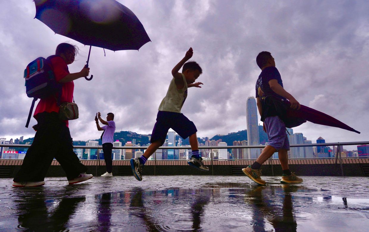
Hong Kong's residents finally caught a break from an oppressive week of record-breaking heat when substantial rainfall swept across the territory on Friday morning, delivering much-needed respite from conditions that had pushed the city to its meteorological limits. The downpour, accompanied by thunderstorms, prompted the Hong Kong Observatory to raise an amber rainstorm warning at 8:40 am, which was subsequently lifted three hours later as weather patterns began to stabilise. The precipitation marked a turning point after days of relentless heat that had tested the city's infrastructure and public health systems.
The timing of the monsoon system could hardly have been more crucial. The rainfall arrived as Hong Kong was enduring its most intense and prolonged summer heat episode on record, driven by a combination of upper-air disturbances and a sustained southwesterly airstream that had trapped warm, humid air over the territory. The Hong Kong Observatory confirmed that conditions throughout Friday would remain unsettled, with continued showers and thunderstorms expected to provide additional moisture and cooling to the atmosphere.
The heat wave that preceded the downpour had been extraordinary by any measure. For nine consecutive days, the maximum temperature recorded at the observatory remained at 33 degrees Celsius or higher, shattering the previous August record for the longest uninterrupted hot period. This streak represented a significant departure from historical norms and underscored the intensifying impact of climate change on the region's weather patterns. Multiple districts across Hong Kong had registered temperatures surging well past 34 degrees Celsius during the height of the episode.
Perhaps most strikingly, on Sunday just days before the rains arrived, the observatory recorded a peak temperature of 36.9 degrees Celsius—the highest reading since systematic weather records began in 1884. This 140-year benchmark represents not merely a monthly record but a watershed moment in Hong Kong's climatic history, signalling a shift toward more extreme temperature events that residents and authorities must prepare for in coming decades. The milestone prompted widespread media coverage and public discussion about urban heat management and climate resilience.
The extreme conditions had placed considerable strain on Hong Kong's power grid and water resources. Elevated demand for air conditioning had stressed electricity supplies during peak hours, whilst persistent heat slowed water evaporation, creating complex management challenges for the city's utilities. Public health officials had issued advisories warning vulnerable populations—the elderly, children, and those with chronic conditions—to take precautions against heat-related illness, and hospitals reported increased admissions for heat exhaustion and related complaints during the worst days of the episode.
The meteorological system that finally delivered relief on Friday exemplified the complex interplay of atmospheric conditions that govern Hong Kong's tropical and subtropical climate. The combination of upper-level atmospheric disturbances and a strengthening southwesterly airstream created conditions favourable for cloud development and precipitation, displacing the stationary high-pressure system that had anchored over the region. However, the amber warning—the lowest tier in Hong Kong's four-tier rainstorm warning system—indicated that whilst the rainfall was welcome, it did not represent an extreme precipitation event.
Looking ahead, residents could expect a mixed pattern over the weekend. Saturday morning would bring additional thunderstorms to certain areas, with sunny intervals developing during daylight hours as the system continued to move. This intermittent pattern suggested that whilst the most acute phase of the heat wave had passed, conditions would remain volatile and unstable, typical of Hong Kong's late summer monsoon transition period.
By early the following week, however, forecasters anticipated that very hot weather would return, driven by a rebuilding high-pressure system, accompanied by occasional showers. This oscillating pattern—alternating between extreme heat and temporary relief—has become increasingly characteristic of Hong Kong's summer climate in recent years, reflecting broader changes in circulation patterns that influence East Asian weather.
The succession of record temperatures in August 2024 aligns with scientific projections from climate models, which consistently indicate that East and Southeast Asia will experience more frequent and intense heat extremes as global atmospheric conditions warm. For Hong Kong, a densely populated urban area with limited green space and extensive built-up infrastructure that absorbs and radiates solar radiation, the challenge of adapting to such trends represents a significant policy priority. City planners and environmental officials are increasingly considering measures including expanded urban greening, cool-pavement technologies, and improved building standards to mitigate the urban heat island effect that exacerbates temperature extremes in metropolitan zones.
The episode also serves as a regional indicator. As the world's climate continues to shift, cities throughout Southeast Asia—including Kuala Lumpur, Bangkok, and Singapore—face similar intensifying heat pressures that demand coordinated responses in urban design, public health preparedness, and energy infrastructure planning. Hong Kong's experience offers lessons in both the challenges these cities will confront and the importance of timely meteorological monitoring and public communication during extreme weather events.

