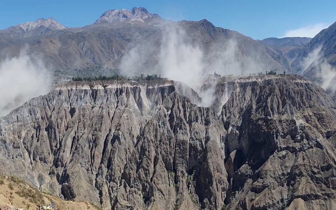
A significant seismic event struck southern Peru on Thursday afternoon when a 6.7 magnitude earthquake originated from the Parinacochas province in the Ayacucho department, according to measurements from the US Geological Survey. The tremor's epicentre lay approximately 35 kilometres north of Coracora at an intermediate depth of 108 kilometres below the earth's surface, placing it well beyond the shallow, more destructive range typical of devastating quakes.
The Geophysical Institute of Peru (IGP) initially recorded the event at magnitude 7.2 when it struck at 1 pm local time, though international monitoring bodies later standardised the reading at 6.7 magnitude. This discrepancy reflects the technical challenges geophysicists face when rapidly assessing tremor strength immediately after an event occurs. The depth measurement proved crucial to understanding the earthquake's ultimate impact on populated areas, as the substantial distance between the rupture zone and surface infrastructure significantly absorbed and dispersed seismic energy.
Despite the considerable magnitude, Peruvian disaster management authorities confirmed no fatalities or significant structural damage in the immediate aftermath. The National Seismological Centre (CENSIS), part of the IGP, attributed this favourable outcome to the earthquake's intermediate depth, which operates as a natural buffer zone. Geophysicists explained that the 108-kilometre depth resulted in a Mercalli intensity rating of III-IV, or light to moderate shaking, at the epicentre itself—manageable levels for buildings constructed to modern standards in earthquake-prone regions.
The tremors extended well beyond the immediate epicentre zone, with residents across southern and central Peru reporting clear shaking. In Lima, the capital city situated hundreds of kilometres away, people distinctly felt the earthquake, demonstrating the energy released by this sizeable event. Such widespread perception across such distances underscores the considerable force generated when tectonic plates shift along Peru's complex geological fault systems.
This earthquake arrives amid a broader pattern of seismic unrest affecting both Peru's northern and southern regions. The timing highlights ongoing geological stress along major fault lines that traverse the country. For Malaysian and Southeast Asian observers, Peru's situation offers instructive parallels to the region's own earthquake and tsunami risks along the subduction zones that similarly threaten countries such as Indonesia and the Philippines.
Peru's geographical position sits directly atop the Pacific Ring of Fire, one of Earth's most seismically active zones, where the Nazca and South American tectonic plates meet in constant, grinding motion. This collision generates the powerful earthquakes that characterise the Peruvian landscape, making seismic hazards a permanent feature of national life. Understanding Peru's earthquake dynamics provides useful context for assessing similar tectonic environments throughout the Pacific basin.
The country's recent seismic history contains sobering reminders of what larger, shallower quakes can accomplish. The 2007 Ica earthquake, which registered 7.9 magnitude and struck with devastating force in a shallow depth range, killed nearly 600 people and caused extensive structural destruction across the region. That event demonstrates the critical importance of depth—a seemingly similar magnitude can produce vastly different outcomes depending on where the rupture initiates.
In response to Thursday's earthquake and the broader pattern of heightened seismic activity, the IGP issued public guidance urging Peruvians to adopt sustained vigilance regarding earthquake preparedness. Authorities specifically recommended that households review their evacuation plans and procedures, ensuring all family members understand where to shelter during shaking and how to safely exit buildings. Such practical preparation significantly reduces injuries and deaths when major quakes do strike.
The IGP further encouraged residents to assemble and maintain emergency supply kits containing essentials such as water, food, first aid supplies, and important documents. These recommendations reflect established best practices developed internationally over decades of earthquake disaster response. For regions throughout Southeast Asia facing comparable seismic risks, such preparedness frameworks offer valuable models for building community resilience.
Peru's approach to earthquake management combines scientific monitoring with public education—a strategy that has proven effective in reducing casualties even when powerful tremors occur. The IGP's emphasis on household-level preparedness recognises that government response alone cannot protect all residents; individual and family readiness forms the critical foundation of disaster mitigation. This layered approach to seismic risk management has relevance far beyond Peru's borders as other Pacific nations strengthen their own earthquake preparedness infrastructure and public awareness campaigns.

