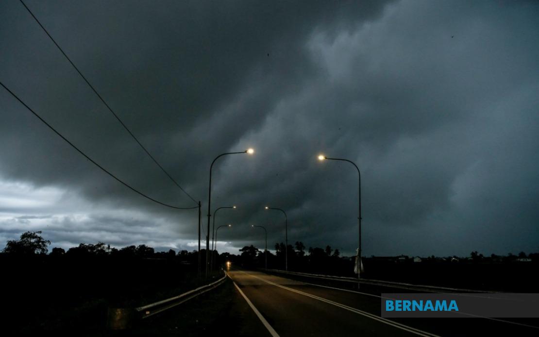
The Malaysian Meteorological Department has issued an urgent weather advisory covering large swathes of the country, warning of imminent thunderstorms, heavy downpours, and gusty winds that will persist until 1 pm today. The alert underscores the volatile atmospheric conditions currently developing across multiple regions, requiring residents and commuters to exercise heightened caution as these weather systems move through populated and rural areas alike.
In Peninsular Malaysia, the western seaboard faces the primary threat. Selangor's Sabak Bernam district, situated along the Straits of Malacca, is flagged as particularly vulnerable to the incoming system. Meanwhile, Perak's coastal and interior regions—encompassing Manjung, Perak Tengah, Bagan Datuk, and Hilir Perak—have similarly been placed under alert. These areas, which serve as critical transport and commercial hubs connecting the northern states to the Klang Valley, may experience disruptions to road networks and maritime activities as the weather intensifies.
The Sarawak alert covers an extensive geographic footprint reflecting the state's vast territory and diverse topography. Betong in the southwestern reaches faces the threat alongside the Sarikei division, which includes the districts of Pakan, Sarikei, and Meradong. The Sibu district, a major urban and commercial centre in the state, is included in the warning, as are the coastal municipalities of Mukah, specifically Tanjung Manis and Daro. The alert extends further inland to Kapit, as well as to the northern divisions of Bintulu (Tatau district), Miri, and Limbang, suggesting that the meteorological system's influence spans from Sarawak's southwestern borders through to its northernmost tip.
Sabah's inclusion in the alert demonstrates the system's regional reach across East Malaysia. The Interior Division, encompassing the districts of Sipitang, Kuala Penyu, and Beaufort, faces potential flooding risks given the region's terrain and drainage patterns. The West Coast Division—covering Papar, Putatan, Penampang, Kota Kinabalu, Tuaran, and Kota Belud—represents Sabah's most densely populated corridor and economic heartland. Any significant rainfall and wind disruption in these districts could impact business operations, school activities, and transportation networks in the state capital and surrounding urban agglomerations. The Kudat Division in the Kudat district, located at Sabah's northeastern extremity, has also been flagged as at risk.
The Federal Territory of Labuan, positioned strategically off the coast of Brunei and Sabah, faces weather threats across its entire jurisdiction. As a federal territory with distinct administrative status and significant maritime and financial sectors, any severe weather can disrupt shipping lanes, port operations, and cross-border commerce. The blanket coverage of the entire territory indicates the meteorological department's assessment that no part of Labuan will be spared from the incoming system.
Thunderstorms of this magnitude warrant particular attention due to the multiple hazards they present. Beyond the obvious danger of heavy rainfall and flash flooding, strong winds accompanying such systems can topple trees, damage structures, and create projectile hazards from unsecured objects. Lightning strikes pose a direct threat to human life and can ignite fires in vulnerable areas. The combination of these elements creates cascading risks that extend beyond the immediate weather event itself.
The specification of a 1 pm endpoint suggests that meteorological forecasters have tracked the system's trajectory and timing with reasonable confidence. However, such weather systems can be unpredictable, and the actual duration may extend beyond the stated window depending on atmospheric conditions and the system's movement speed. Residents should remain alert to updates from MetMalaysia, as additional warnings or extensions may be issued as conditions evolve.
For those residing in the affected zones, practical precautions are advisable. Securing outdoor items that could be caught by strong winds, avoiding unnecessary outdoor activities during peak intensity hours, and ensuring drainage pathways are clear can mitigate potential damage and hazards. Motorists should exercise reduced speed and increased vigilance on roads, particularly those prone to flooding. Boaters and maritime operators should consider postponing activities until conditions stabilise. Schools and workplaces in affected districts may need to implement contingency plans to accommodate potential disruptions.
The geographic breadth of this alert—spanning from the peninsula's west coast through the entirety of Sarawak and Sabah to offshore territories—reflects the scale and intensity of the meteorological system in play. Such widespread simultaneous weather warnings are relatively uncommon and indicate atmospheric conditions of significant energy and movement. The coordination between MetMalaysia's monitoring stations across these disparate regions demonstrates the department's capacity to track complex weather patterns and issue timely public alerts.
Residents should view this alert not as mere routine notification but as a substantive warning requiring behavioural adjustment. The early afternoon cutoff time means that morning commutes may be affected, and those planning afternoon activities should factor in potential weather delays or cancellations. For agricultural areas within the affected zones, the heavy rainfall may bring both benefit in terms of soil moisture and risk in terms of crop damage or waterlogging. Drainage-dependent sectors such as aquaculture and horticulture should prepare for operational adjustments.

