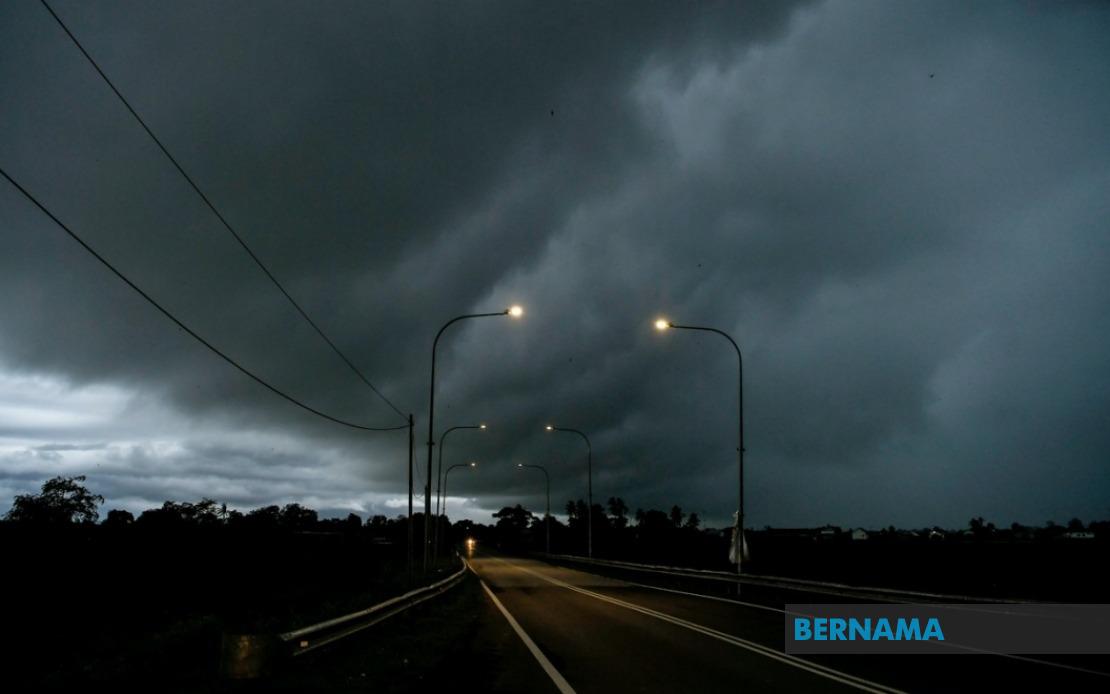
Malaysia's meteorological authorities have activated a nationwide weather alert affecting extensive portions of the peninsula and East Malaysia, with thunderstorms, torrential rainfall and powerful gusts expected to persist until early evening. The Malaysian Meteorological Department issued the broad-based warning covering nine states alongside the federal capitals, signalling conditions volatile enough to warrant coordinated public precautions across the country.
On the peninsula's western flank, Selangor faces particular exposure with seven districts falling under the alert zone, including the populous Petaling and Hulu Langat areas adjacent to the capital. The federal territories themselves—Kuala Lumpur and Putrajaya—sit directly in the weather system's path, potentially disrupting afternoon commuter traffic and outdoor activities throughout the metropolitan region. This geographical spread underscores how the atmospheric disturbance extends well beyond isolated pockets, creating cascading impacts across Malaysia's economic heartland.
Kelantan and Terengganu on the east coast peninsula experience blanket coverage across their most significant population centres, with the alert encompassing Tumpat, Pasir Mas and other commercial hubs in Kelantan alongside Kuala Terengganu and Marang in the neighbouring state. These regions, habitually susceptible to seasonal monsoon influences, face compounded risk during afternoon heating that typically intensifies convective activity. The concentration of alerts across the east coast reflects meteorological patterns where maritime moisture and orographic forcing combine to generate severe cellular thunderstorms.
Central peninsula locations including substantial districts of Perak and Pahang extend the warning zone inland, with highland areas like Cameron Highlands and Bentong included alongside lowland centres such as Temerloh and Kuantan. The breadth of Pahang's coverage—stretching from upland regions through to the coastal Pekan and Rompin districts—demonstrates how unified atmospheric conditions can dominate an entire state. Negeri Sembilan and Johor complete the peninsula's nine-state roster, ensuring that virtually every major population corridor faces heightened weather risk simultaneously.
East Malaysian territories experience equally extensive disruption, with Sarawak's warning spanning from the state capital Kuching through the interior Kapit and Song regions to the northern Miri and Limbang areas. This expansive geographic scope across Sarawak highlights how weather systems can blanket the entire state despite its substantial size. Sabah simultaneously faces alerts affecting the Sandakan division in the east, the densely populated west coast including Kota Kinabalu and Ranau, and the sprawling inland Pedalaman region. The inclusion of both Sabah's coastal and interior districts suggests atmospheric instability capable of generating severe weather across multiple terrain types.
The meteorological department's specificity in designating individual districts rather than blanket state warnings reflects operational precision aimed at enabling targeted emergency responses. Citizens and authorities in listed districts can interpret the alert as requiring immediate preparedness measures rather than treating it as generic seasonal information. This granular approach facilitates more effective resource allocation by emergency services, allowing them to concentrate personnel and equipment in genuinely affected areas rather than dispersing responses thinly across entire states.
Thunderstorms accompanied by heavy precipitation pose particular hazards in Malaysian contexts given urban drainage limitations and flash-flood-prone terrain. The strong wind component amplifies risks for infrastructure, with loose materials becoming projectiles and vegetation shedding branches or falling entirely. For aviation and maritime operations, the combination of torrential rain reducing visibility alongside powerful updrafts and downdrafts creates treacherous conditions necessitating operational suspensions or diversions. Commercial activities reliant on outdoor operations face productivity losses, whilst construction sites require immediate safety protocols implementation.
The evening timeline suggests afternoon and early-evening peak intensity, aligning with typical tropical convection patterns where daytime heating reaches maximum potency during mid to late afternoon hours. Rush-hour commuters across the peninsula's major corridors should anticipate degraded visibility, hazardous driving conditions and potential roadway flooding affecting journey times significantly. Public transport operators may require contingency scheduling adjustments, whilst workplace safety coordinators must brief staff on shelter-in-place procedures should conditions intensify unexpectedly.
For agriculture, the intensive rainfall accompanying such thunderstorms presents dual implications—beneficial for water-stressed crops but destructive for flowering or fruiting phases vulnerable to wind damage and soil saturation. Smallholder farmers in affected regions should secure loose materials and assess drainage adequacy in cultivation areas. Aquaculture operations face potential impacts from freshwater inflow altering salinity balances in coastal ponds, requiring preventative management.
The simultaneous alert across geographically dispersed regions suggests a significant weather system rather than isolated afternoon convection, potentially indicating a more substantial atmospheric disturbance warranting heightened caution. Residents in affected districts should remain alert for official updates, ensure emergency contact readiness and avoid unnecessary outdoor exposure during peak warning periods. The Malaysian Meteorological Department's issuance reflects commitment to public safety through timely dissemination of meteorologically supported information enabling proactive hazard mitigation at individual and institutional levels.

