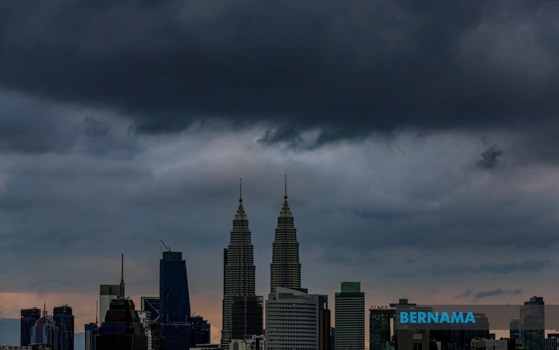
The Malaysian Meteorological Department has alerted residents across a broad swathe of the peninsula and East Malaysia to prepare for hazardous weather conditions this afternoon, with forecasters predicting thunderstorms, heavy downpours and gusty winds will persist until 7 pm. The warning encompasses Kuala Lumpur and Putrajaya, placing the nation's commercial and administrative heartland directly in the path of the system, alongside ten additional states spanning northern, central and eastern regions.
Northern Peninsular Malaysia faces particular exposure, with the entire state of Penang placed on alert alongside portions of Kedah and Perlis. The Kedah districts under warning—Langkawi, Kubang Pasu, Padang Terap, Kuala Muda and Kulim—cover a significant stretch of the state's inhabited zones. Perlis, Malaysia's smallest state, joins the advisory, suggesting the weather system has considerable geographic breadth. This pattern indicates a slow-moving frontal system or convergence zone affecting the region's northwestern reaches.
Peculiarly vulnerable is Perak, where MetMalaysia has flagged seven separate districts: Hulu Perak, Kuala Kangsar, Manjung, Kinta, Perak Tengah, Kampar and Bagan Datuk. This widespread coverage across the state indicates the system's intensity is likely concentrated along the west coast corridor, potentially affecting river systems and low-lying agricultural areas that drain toward the Strait of Malacca. Residents in these zones should anticipate localized flooding in susceptible locations.
The east coast of Peninsular Malaysia experiences comparable exposure. Terengganu has five districts singled out for warning: Besut, Setiu, Kuala Nerus, Hulu Terengganu and Dungun, representing coastal and inland communities. Kelantan's Gua Musang district also falls within the affected zone. Pahang sees Cameron Highlands, Raub, Bentong and Rompin included in the advisory—a mix of highland and valley territories that have historically experienced significant rainfall during tropical weather systems. The east coast's monsoon influence during this period of the year makes such warnings particularly consequential, as the region can experience rapid accumulation of water.
Selangor, the nation's most populous state beyond the federal territories, has six districts specified in the warning: Hulu Selangor, Gombak, Petaling, Kuala Langat, Hulu Langat and Sepang. This coverage traces the Selangor River drainage system and encompasses major population centers including the suburban sprawl extending outward from Kuala Lumpur itself. Disruptions to transportation and utilities in this region carry outsized implications for economic activity across the corridor.
East Malaysia, despite its greater distance from the developing system, has not been spared from the meteorological department's concerns. Sarawak's affected areas span six divisions, including major urban centers Kuching and Miri. The breadth of the Sarawak warning—stretching from Bau near the Brunei border through central divisions such as Sri Aman and Sibu to the northern reaches—suggests a region-wide atmospheric disturbance rather than a localized weather cell. Sabah similarly faces multiple exposure points, particularly across its eastern and interior regions: the Interior Division's Keningau and Tambunan, the West Coast Division's Ranau, and the Sandakan Division's Telupid, Kinabatangan, Beluran and Sandakan.
For residents and commuters, the practical implications of this afternoon's weather warrant immediate consideration. Thunderstorms coupled with strong winds pose hazards to outdoor activities, construction sites and power distribution networks. The combination of heavy rain and strong winds increases the likelihood of wind-blown debris and waterlogging in urban drainage systems. Travelers should allow extended journey times, particularly on routes crossing river valleys or areas with documented flooding histories. Public transport may experience service interruptions or delays as operators implement caution protocols.
The timeline matters considerably—a seven-hour window until evening allows time for the system to either intensify or weaken, but also provides a defined period for residents to implement precautions. Communities with previous flood experience should activate monitoring systems and ensure drainage channels remain unobstructed. Agricultural areas, particularly in the west coast states where harvesting may be underway, face potential crop damage from wind and excessive moisture. Farmers with exposed crops or vulnerable structures should take protective measures before conditions deteriorate.
MetMalaysia's specificity in naming affected districts rather than simply issuing blanket state-level warnings suggests the department's forecasting models have identified particular geographic zones of concern. This precision allows local authorities and residents to calibrate their response appropriately, moving beyond generic weather advisories toward targeted preparation. The inclusion of both highland and lowland areas indicates the system likely brings sufficient vertical development to affect terrain at varying elevations.
Context matters in evaluating this warning's significance. June and July represent the inter-monsoon period in Malaysia, when wind patterns shift and atmospheric instability can spawn isolated but intense convective systems. While such weather is not uncommon for this time of year, issuing formal warnings indicates meteorologists expect severity exceeding routine afternoon thunderstorm activity. Residents should take the advisory seriously rather than dismissing it as seasonal routine weather.