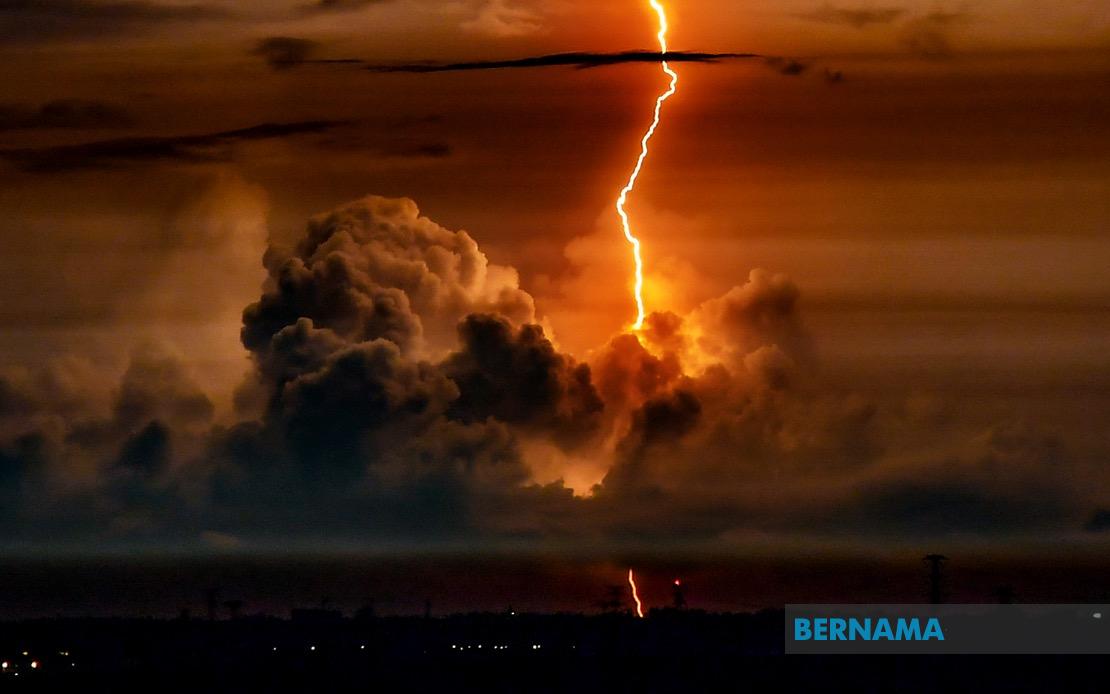
The Malaysian Meteorological Department has put out an urgent weather alert covering swathes of East Malaysia, warning residents in Sarawak, Sabah and Labuan to prepare for potentially dangerous atmospheric conditions through the late morning hours. The alert, issued at 8.50 am, flags the imminent arrival of thunderstorms accompanied by torrential downpours and gusts of wind strong enough to warrant public caution. The warning remains in effect until 11 am, giving authorities and residents in affected zones a narrow window to take protective measures.
Across Sarawak, the impact zone spans a substantial portion of the state, encompassing the southern district of Saratok in Betong, the coastal town of Sarikei, and the central region centred around Mukah with its surrounding settlements of Daro, Matu and Dalat. The warning extends northward to Miri, where the divisions of Beluru and Marudi face exposure, while the remote interior areas of Limbang and parts of Kapit around Belaga remain under alert status. Bintulu's western reaches, particularly the Tatau area, round out the Sarawakian coverage, reflecting a meteorological system of significant geographic breadth that poses risks to communities across the state's diverse geography.
In Sabah, the pattern shows the thunderstorm band approaching from multiple directions. The Interior division, encompassing the three municipalities of Kuala Penyu, Beaufort and Membakut, faces exposure from the inland weather system. The state's populous West Coast region—comprising Papar, Penampang, Putatan and the state capital Kota Kinabalu—sits squarely in the storm's projected path. These areas, which account for a significant share of Sabah's population concentration and economic activity, warrant particular attention from both meteorologists and local administrators who must coordinate public safety responses.
The federal territory of Labuan, the small but strategically important offshore jurisdiction, has been flagged for the same severe weather conditions. Given Labuan's maritime geography and its status as a bustling financial centre and port facility, thunderstorms of this magnitude can disrupt shipping operations and commercial activities. The island's exposed position makes it particularly vulnerable to the effects of strong winds and heavy precipitation, necessitating heightened preparedness among port authorities and residents alike.
MetMalaysia's technical definition of such warnings provides important context for understanding the severity of the alert. The department issues a thunderstorm warning when meteorological indicators point to the imminent or ongoing development of thunderstorms accompanied by rainfall intensity exceeding 20 millimetres per hour, with the expectation that such conditions will persist for more than 60 minutes. This threshold-based approach ensures that alerts capture genuinely hazardous weather systems while avoiding alert fatigue from minor weather variations. The systems meeting these criteria pose genuine risks to public safety, infrastructure, and economic activity, making timely public notification essential.
For communities in the affected regions, such warnings carry practical implications across multiple sectors. The construction industry, agricultural operations, and transportation networks all require protective action when thunderstorms of this magnitude approach. Flash flooding becomes a particular concern in low-lying areas and zones with inadequate drainage infrastructure. Electrical utilities must prepare for potential outages, while maritime operators—crucial to East Malaysia's commerce—must consider whether to pause loading and unloading activities or suspend port operations altogether.
MetMalaysia's advisory to the public emphasises sustained vigilance and reliance on official information channels rather than rumour or speculation. The department's official website and social media platforms serve as the authoritative source for real-time updates, allowing residents to track the storm's movement and adjust their activities accordingly. This multi-channel approach to public communication reflects modern best practices in disaster preparedness, ensuring that information reaches populations across varying demographics and technological access levels. Residents without internet access can access updates through traditional media or local government offices.
The geographic spread of this warning underscores the reality that East Malaysia's weather patterns often exhibit significant spatial complexity. A single atmospheric system can simultaneously affect discontinuous regions while leaving others untouched, a phenomenon that requires sophisticated forecasting capabilities to track accurately. The specificity of MetMalaysia's regional breakdown—naming individual districts and divisions—reflects the level of granularity that proves most useful for local authorities coordinating response and recovery efforts following severe weather events.
For the broader Southeast Asian context, thunderstorms of this character form part of the region's monsoon transition period dynamics. August typically marks a phase of atmospheric instability across maritime Southeast Asia as seasonal wind patterns shift. Malaysia's equatorial and tropical maritime location ensures that such systems represent a recurring seasonal phenomenon rather than unusual occurrence, yet their frequency and intensity require perpetual readiness from both government agencies and civilian populations. East Malaysia's position on Borneo's northern coast exposes it particularly to systems originating from the South China Sea and surrounding waters.

