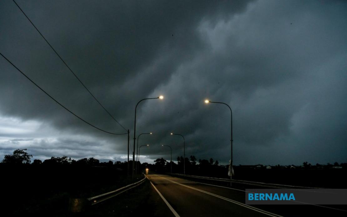
Malaysia's meteorological authorities are bracing residents across a sprawling geographic expanse for dangerous weather as the Malaysian Meteorological Department issued a comprehensive alert covering thunderstorms, torrential downpours and violent wind gusts affecting ten states nationwide until 6 pm on August 2.
The warning encompasses a substantial portion of Malaysia's population, stretching from the northern peninsula through to the eastern seaboard and across Borneo. This expansive coverage reflects the scale of the atmospheric disturbance moving through Malaysian airspace, typical of the region's tropical monsoon patterns during certain periods of the year.
In the north, Perlis faces the full force of the warning, whilst Kedah experiences significant vulnerability in its northwestern districts including Padang Terap, Kuala Muda, Sik, Baling, Kulim and Bandar Baharu. Neighbouring Perak is similarly affected across multiple administrative regions: Kerian, Larut, Matang and Selama, along with the interior districts of Hulu Perak, Kuala Kangsar, Kinta, Kampar, Batang Padang and Muallim. This clustering of affected areas in northern Peninsular Malaysia suggests a coherent weather system moving through the region.
Moving eastward along the peninsula's east coast, Kelantan faces particular risk in seven districts: Pasir Mas, Jeli, Tanah Merah, Machang, Pasir Puteh, Kuala Krai and Gua Musang. The adjacent state of Terengganu remains entirely within the warning zone, indicating the intensity of weather conditions across Malaysia's northeastern shoulder. This continuous band of coverage suggests residents in these traditionally flood-prone areas should exercise heightened caution regarding drainage systems and outdoor activities.
Pahang, Malaysia's largest peninsular state, faces partial coverage with eight districts placed under alert: Cameron Highlands, Lipis, Raub, Jerantut, Bentong, Kuantan, Pekan and Rompin. The inclusion of Cameron Highlands, the peninsula's elevated highland resort destination, underscores the warning's reach across varying altitudes and terrain types. In Selangor, only Hulu Selangor is affected, suggesting the weather system's core remains concentrated away from the federal territories and central commercial hub. Johor's warning covers seven southern districts including Batu Pahat, Kluang, Mersing, Pontian, Kulai, Kota Tinggi and Johor Bahru, the state capital.
Across the South China Sea in Sarawak, multiple divisions experience the warning spanning both coastal and interior regions. Kuching division encompassing Bau and the state capital itself, Betong with Saratok and Kabong, Sarikei, and Sibu incorporating both Sibu town and Selangau form the core affected areas. The warning extends to Mukah and Bintulu on the central coast, whilst Miri division in the north encompasses Subis, Beluru, Miri town and Marudi. Limbang in the northeast corner completes Sarawak's coverage.
In Sabah, the warning reaches across the state's diverse geography. Interior divisions including Sipitang, Tenom, Kuala Penyu, Beaufort and Tambunan face alert status, as does the West Coast region encompassing commercial and population centres. Sandakan division experiences partial coverage through Beluran district, whilst Kudat in the far northeast rounds out the Sabahan coverage. This extensive Bornean inclusion demonstrates the weather system's capacity to influence conditions thousands of kilometres across Malaysian territory simultaneously.
For Malaysian residents, such comprehensive warnings carry significant practical implications. Schools and public events may face disruption, whilst transportation networks including air and sea routes could experience delays or cancellations. Outdoor workers, construction sites and agriculture operations must implement weather protocols to protect personnel and assets. Residents in flood-prone areas should monitor drainage conditions and remain prepared for potential evacuation requirements, particularly given the emphasis on heavy rainfall alongside thunderstorm activity.
The specificity of MetMalaysia's district-level warnings reflects modern meteorological precision, enabling local authorities and emergency services to target preparation and response efforts effectively. This granular approach represents significant advancement from historical broad-state warnings, allowing municipal governments, utility providers and community leaders to activate protocols precisely where conditions warrant heightened alert. The concentration of warnings across traditional seasonal monsoon patterns suggests meteorological patterns consistent with Malaysia's climate cycle, though the simultaneous multi-state coverage underscores weather's capacity to create substantial nationwide disruption despite the nation's tropical climate adaptation.
Residents should monitor MetMalaysia's updated forecasts closely, as the 6 pm deadline represents a specific window for expected condition intensity rather than cessation of weather activity. Post-warning periods often witness continued heavy rainfall and flooding risks, requiring sustained vigilance even after official alerts expire. Preparation measures including securing loose outdoor items, charging electronic devices and avoiding unnecessary travel during peak warning hours represent prudent precautions.

